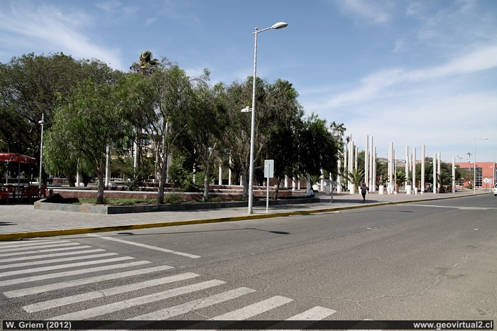
Photo: Plaza, Diego de Almagro Square (W. Griem, 2012;
Ca50D1599)
Foto grande
Photo Information :
Camera Canon 50D
Lens: 17-70mm | Focal length: 17mm (=27,5/35mm)
| Time: 1:160 | ISO100
F: f/9 | Original size: 4752 x 3168 | Date: 2012/02/08/17:07 hrs.
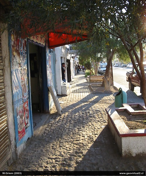
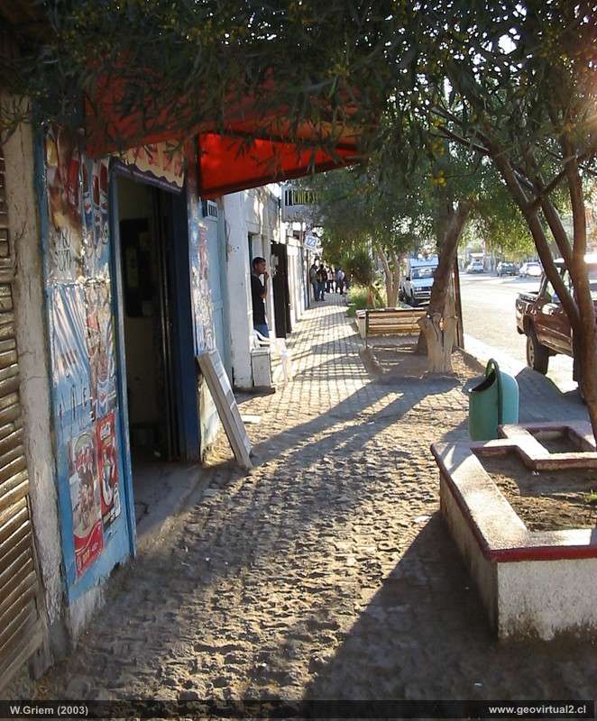
Photo: Diego de Almagro's Center (W. Griem, 2003;
CaPS1196)
Foto grande
Photo Information :
Camera Powershot-A100
Focal length: 5,41mm (=44mm/35mm) | Time: 1:250
F: f/2.8 | Original size: 1280 x 960 | Date: 2003/09/23/18:01 hrs.
Diego de Almagro: p.1 │ p.2│ p.3 │ FFCC
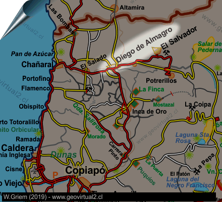
Diego de Almagro is a small town in the northern
part of the Atacama region. The village is a good starting point to
drive into the high cordilleras or to the Pedernales salt lake
Diego de Almagro is located in the valley of the river "El Salado". The
small town of 7,000 inhabitants is the centre of small and medium-sized
mining. Today it stands out for the contrast between a modern
architecture and the architecture of 1900. The "Pueblo Hundido" (like
sunken village), as Diego de Almagro used to be called, was part of the
great infrastructural systems of the country. As a terminal point of the
longitudinal railway La Calera - Pueblo Hundido from 1912 to 1922 (see)
and later as a stage of the Pan-American Highway.
In the 1970s passenger trains were eliminated, the Pan-American highway
was diverted to Chañaral and Diego de Almagro had to face serious
environmental problems (here).
With this panorama of the past Diego de Almagro achieved a great leap
forward in the nineties until today. The downtown area, the old railway
station (here) are unique
examples of a mining village in the desert.
Information from
Diego de Almagro:
• Population: 7,000 inhabitants (approx.)
• altitude: 810 m
• Distance to Santiago: 952 km
• Distance to Copiapó: 147 km
• UTM: E396.598 / N70.81.036
• Restaurants, accommodation, shops, petrol, gasoline
Routes and places near Diego de Almagro:
Finca Chañaral
Poute camino a Pedernales - Maricunga
Route Copiapó - Diego
Route to
Altamira
Places of interest
Information about Atacama
Towns and
villages of Atacama
Intro tourist attractions
Copiapó
Vallenar
El Salvador
Chañaral
Caldera
►
Diego de Almagro
Huasco
Freirina
Alto del Carmen
Tierra Amarilla
Rutas de Atacama
Intro camino a Pedernales
►
Diego de Almagro
(km 0,0)
Río El Salado (Km 15,0)
The Pedernales salt flat (Km 112)
Maricunga
salt flat (Km 179)
Intro Ruta Altamira
►
Diego de Almagro
(km 0,0)
Mirador Pampa Aust.(Km 13,8)
Altamira (Km 77,5)
Agua Verde (Km 139)
The railroad history of Atacama
Estación FFCC Diego
Mining history of Atacama
Mining districts of Atacama
Mina Alaska
Minas de Inca de Oro
Tourist
information
Atacama
Travel instructions
Behavior in the desert
Specific terms
The Andes mountains
Atacama desert
Near
The Pedernales salt flat
Maricunga
salt flat
The nitrates
Inca de Oro
El Salado
Finca
Chañaral Alto
Qda. Chañaral Alto
Lavaderos en el río El Salado
El Salvador
Potrerillos
Chañaral
Mapa del sector
Nearby and more
Santa Rosa lake
Laguna Verde (engl.)
The Andes mountains
Atacama desert

