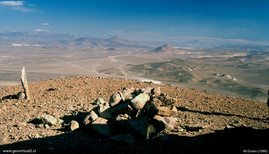
Photo: Panoramic view from Cerro La Ola towards Llano La Ola or Llano
los Arroyos. Below is the intersection of the roads to Maricunga and
Acerillos. (Atacama region; Chile). It was not so easy to reach the
summit of this hill over 4000 meters high - but thanks to a mysterious
road and a few hours of attempts it turned out. The photo, a survivor of
the 1990s. Taken in analogous form (slides) - saved some 20 years and
now digitized. (all the dust can never be removed).
(DiaCoOla01-1990; W. Griem 2006)
Description:
Description:
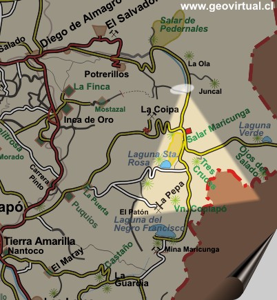
Location: The Cerro La Ola is located near Pedernales - la Ola.
Town nearby: El Salvador (70 km), Diego de Almagro (122 km).
Petrolstation: El Salvador (70 km), Diego de Almagro (122 km).
The place: In the 90's it was possible to drive up to the top of Cerro
La Ola - here you could enjoy a wonderful view of the Andes.
UTM: E491.332 / N70.60.690 - Height: 4219 m. (picture).
More Salar de Pedernales
Information Photo:
Ricoh Camera KR-10x | Focal length: s/i |
Time: s/i
Original size: 35mm | Date: 1990

Viewpoint Atacama
Places of interest

Content Viewpoint Atacama
The Andes Mountains
The Ojos de Salado
The lagoon Verde
Tres Cruces
mountains
Potro
mountains
Potro
mountains from Gato
Pasto Grande to Potros
Volcano Copiapó (Gato)
Anselmo and Jotabeche
Jotabeche (Pircas Negras)
La Ola hill at Maricunga
The sector
more information about the sector
More Salar de Pedernales
