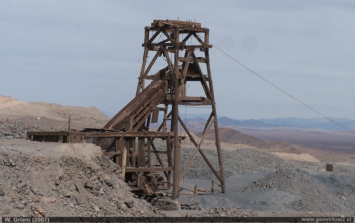
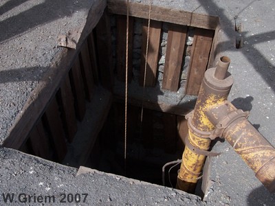
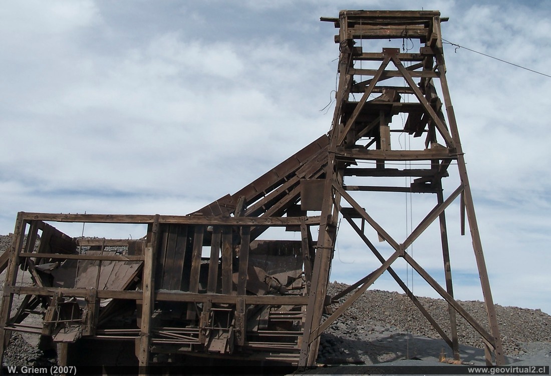
Photo: W. Griem (2007): Pit frame de la mina Colmo in the north of the Atacama Region - near Altamira. (Kodak4610, large Photo)
Information Photo: Camera Kodak DX6490
Longitud focal: 19,4mm (=117/35mm)
| Time: 1:350
F: f/8 | Original dimensions: 2304 x 1728 | Date: 2007/08/11/14:09
hrs.

Photo: Colmo Mine near Altamira - Atacama Desert, Chile. (Photo W. Griem, 2007; Kodak4589, large Photo)
Information Photo: Camera Kodak DX6490
Longitud focal: 6,3mm (=38/35mm)
| Time: 1:350F: f/8 | Original Dimensions: 2304 x 1728 | date: 2007/08/11/13:56
hrs.
Mina Colmo
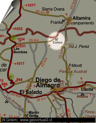
The Colmo mine, located at the northern end of the Atacama Region, still shows its pit frame in the year 2007. The Colmo or Teresa de Colmo mine was part of the Carrizalillo - Altamira district.
Information:
Name: (Teresa de) Colmo
E394.363 / N71.31.513: High: 1198m
Historical text:
Sundt: (1911)
The surface of the land is covered with earthy
caliche with pebbles of decomposed green porphyry and compact black
porphyry in parts. Wherever samples were taken, a conglomerate of green
clayey porphyry appears, partly blocked by caliche and sometimes by the
iron grit that stretches is "copper". Sometimes this iron oxide occurs
in the form of veins, and has resulted in rich and abundant
exploitation. as in this Colmo mine, assuring Torres, that the metals
give 20 to 30 marks of silver per drawer. In some cases, a defined vein
with its two metallic bodies is seen in both boxes, but the center
filled with porphyry conglomerate with calichose cement.
---
Sundt & San Roman (1911); p. 13
Mining Atacama
Journey to Atacama
Mining and Mines
List
of mine districts
Mining from 1830 to 1920
Chañarcillo
Tres Puntas
Carbón de La Ternera
Checo de Cobre - San Jorge
San Juan de Chañaral Alto
Los Pozos - Kuroki
►Teresa
de Colmo
Lavaderos del río El Salado
Potrerillos
Mina de bórax en Pedernales
Canto del Agua (Chañarcitos)
Andarivel Mina Bronce
Alaska
Mina La Borracha
Mina Carmencita
Viña del cerro (Inca smelter)
Other mines
Lomas Bayas
district
Agua Amarga
Inca de Oro
district
Puquios - Carrera Pinto
Carrizal Alto
Cachiyuyo de Llampos
district
more
mining ...
Atacama landscape
The Atacama desert
Flowering
Atacama desert
Beaches of Atacama
Las Dunas
de Atacama
Information
Atacama
History
of Atacama
Cronología de la Región
Mining history of Atacama
Railroad history of Atacama
Maps of Atacama
Cartas históricas de Atacama
Listado personajes de Atacama
Modules
Virtual viewpoint Atacama
Atacama black and white
Road maps of Atacama
La carretera Panamericana
Historia Geociencias

