
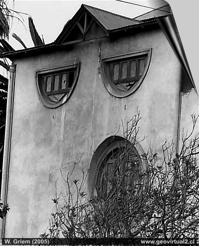
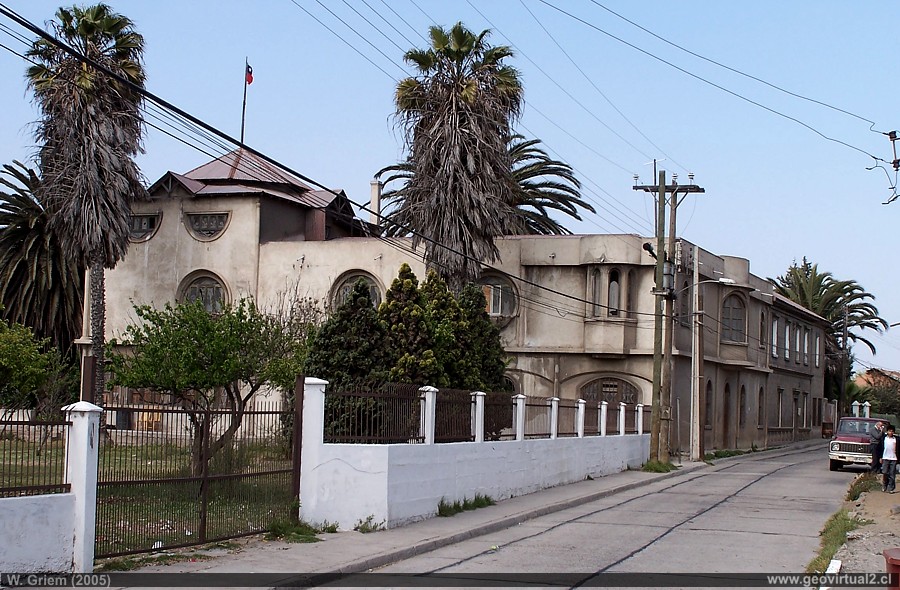
Photo: Casa Callejas in Freirina, Atacama Region - Chile. (W. Griem, 2005; Kodak7387) - Foto grande
Información Foto: Cámara Kodak DX6490 (100_7387)
Longitud focal: 10,7mm (=64/35mm)
| Tiempo: 1:3500
F: f/5 | Tamaño original: 2304 x 1728 | Fecha: 2005/10/11/15:35
hrs.
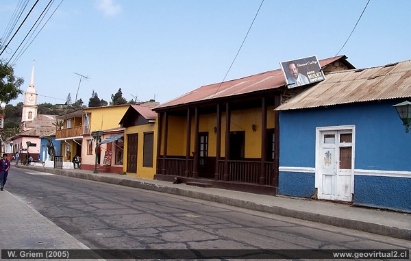
Foto: Streets of Freirina, Atacama Region - Chile. (W. Griem, 2005; Kodak7378) Foto grande
Información Foto: Cámara Kodak DX6490 (100_7378)
Longitud focal: 6,3mm (=38/35mm)
| Tiempo: 1:250
F: f/5.6 | Tamaño original: 2304 x 1728 | Fecha:
2005/10/11/15:28 hrs.
Freirina: p.1 │p.2 │ p.3 │ ffcc
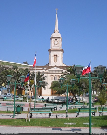
The clean streets of Freirina are reminiscent of the village's importance in the past centuries. Mining activity in Capote and the copper smelter "Labrar" (1846 construction of the Torres de Labrar, 1895 closure of the smelter) left their traces in the city.
Information
Freirina:
Statistics of Freirina:
Freirina (urban)
3,469 inhabitants (2002, Freirina commune, urban) (source: INE)
3,194 inhabitants (1992, Freirina, urban) (source: INE)
3,023 inhabitants (1982) (source: Visión Atacama, 1986)
2,570 inhabitants (1970) (source: Visión Atacama, 1986)
1,831 inhabitants (1960) (source: Visión Atacama, 1986)
1,481 inhabitants (1952) (source: Visión Atacama, 1986)
1,504 inhabitants (1940) (source: Visión Atacama, 1986)
1,403 inhabitants (1920) (source: Visión Atacama, 1986)
1,473 inhabitants (1907) (source: Visión Atacama, 1986)
1,797 inhabitants (1895) (source: Visión Atacama, 1986)
1,188 inhabitants (1875) (source: Census 1875)
1,284 inhabitants (1865) (source: Census 1875)
more statistics of the Atacama Region
---
Places of interest
Information about Atacama
The sector
Huasco
►
Freirina
Vallenar
Valle Huasco
Embalse Sta. Juana
Alto del Carmen
San Félix
Valle San Félix 1 |
2
El Transito
Pinte
Angostura
cerca Conay
Conay
Near
Carrizal
Bajo
Huasco
Freirina
Domeyko
Astillas
Towns of Atacama
Copiapó
Vallenar
El Salvador
Chañaral
Caldera
Diego de Almagro
Huasco
Freirina
Alto del Carmen
Tierra Amarilla
Otros
Índice de mapas
El Ferrocarril
Historia
Cronología de la Región
Minas y Minería
Entrada del Museo virtual
Tourist
information
Atacama
Travel instructions
Behavior in the desert
Specific terms
The Andes mountains
Atacama desert

